Mention the words ‘ring road’ to a Brit, and the image of a very specific type of soul-destroying suburban drudgery will likely come to mind.
But Iceland’s Route 1 Ring Road is a very different beast entirely. Encircling the majority of the island nations’ near 1300 mile perimeter, to traverse its scenic stretches is to reveal vista after vista of otherworldly landscapes that are as far removed from Sheffield’s Outer A6102 as night is from day.
The ring road’s entirety can be driven in around 16 hours, but to do so would be to miss the point of Iceland’s Route 1; the sites along the way are what make the drive one of the most iconic stretches of road in the world.
Instead, it’s advised that you take a week or two to tackle Route 1, in summer and winter respectively, owing to the more treacherous terrain of the colder months (Route 1 is the only road in Iceland that’s consistently cleared of snow).
However you’re tackling it and whatever pace you’re going at, there are several places along the way you mustn’t miss. These are those; together with Zero Car Rental, here are 9 of the best places to stop on Iceland’s Route 1 Ring Road.
Getting There
Because of the nature of Iceland’s somewhat inhospitable terrain, particularly in the island’s central regions, there are no public railways in the country. Conversely, there are a surprising number of airports, with upwards of 15 airports running commercial airlines and scheduled passenger services. The main international airport and your destination when flying from the UK will be Keflavik Airport, a half hour’s drive south of the capital Reykjavik.
Interestingly, whilst you can fly from Reykjavik to Akureyri airport in just 45 minutes, it will take you five hours to make the same journey by car.
Hence why we’re driving the perimeter of the country, where the roads are well maintained, less perilous and (generally) free from snow.
Most visitors planning to drive Route 1 choose to hire a 4×4 at Keflavik Airport; nearly all of the car rentals in Iceland operate here. From Keflavik Airport, it’s just a 15 minute drive to Blue Lagoon, the first stop on our road trip of Iceland’s Route 1…
The Blue Lagoon
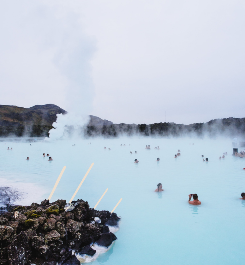
In Iceland’s southwest, on the country’s Reykjanes Peninsula, is The Blue Lagoon, a geothermal hot spring and one of the country’s most popular tourist attractions.
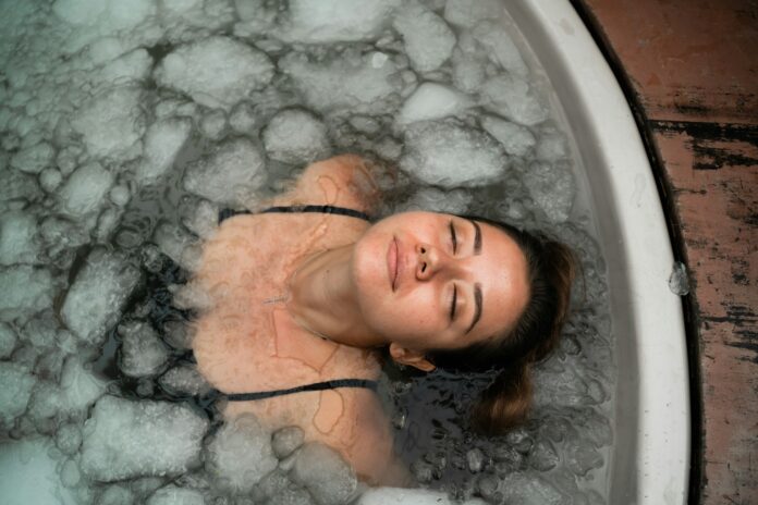
The lagoon, surrounded by lava fields, is a stretch of milky blue water which maintains a constant and perfect bathing temperature of 102°F (39°C) all year round. Locals and tourists alike come to bathe in these relaxing waters.
And come in their numbers they do. In fact, it’s been named as one of the top 25 Wonders of the World by National Geographic and, accordingly, you shouldn’t expect a serene swim in privacy; celebrities such as Beyoncé, Bjork, and even our very own Rick Stein have even been spotted taking a dip here.
That said, the Blue Lagoon represents a wonderful way to get refreshed and reinvigorated post-flight and before you start your road trip proper.
Now, about escaping those crowds…
The Waterfalls Of Seljalandsfoss & Skogafoss
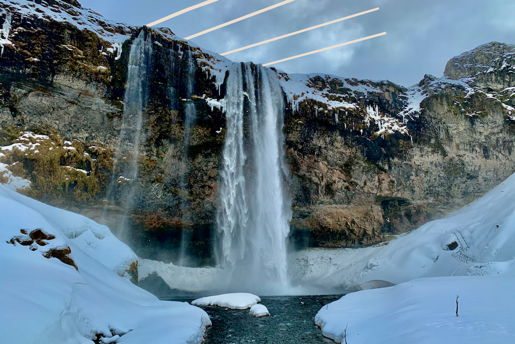
Head 160km’s drive southeast of the Blue Lagoon and you’ll find yourself at two of Iceland’s most spectacular waterfalls, Seljalandsfoss and Skogafoss. Though visible from the main road, it’s worth taking the time to get out of your car (there’s a parking lot here, though you do have to pay) and enjoy the waterfall up close and personal; the former is one of the only waterfalls in Iceland with a path leading behind the cascading water. Make sure you pack your raincoat!
Should you be visiting in winter, do note that the paths get incredibly slippery, and spike shoes may be required. That said, visitors in the darker months, when there are just four hours of daylight, will be rewarded with the spectacle of the waterfalls illuminated by gorgeous floodlights, creating a mystical and magical visual treat.
While you’re here, make sure you visit the smaller Gljufrabui waterfall, considered a hidden gem by some.
Read: 9 of the best places to visit in Iceland’s Golden Circle
Jokulsarlon Glacial River Lagoon
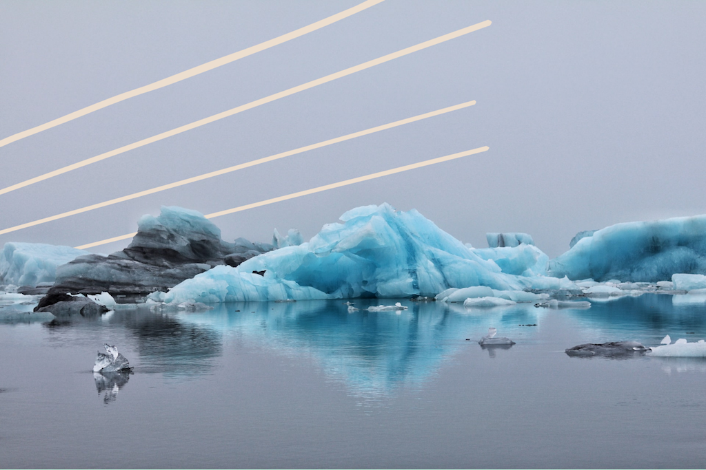
A further three hour’s drive heading east, passing Iceland’s southernmost village Vik before heading north along the coast, and you’ll arrive at Jokulsarlon. Translating as ‘glacial river lagoon’ the prosaic description doesn’t quite do this incredible place justice.
This gorgeous coastline is so atmospheric, in fact, that it has been used as the set of world famous productions and films including Tomb Raider and Die Another Day. The Jokulsarlon itself was formed by Europe’s second largest ice cap, Vatnajokull, which sees blocks of ice break away from the glacier and float into the lagoon before melting or drifting out to sea.
Interestingly for animal lovers, it’s not just people that come to see the lake but wildlife too, with seals and birds drawn to the waters in droves. The lagoon and glacier are both part of the Vatnajokull National Park, which is well worth exploring if you’ve got the time.
Read: 5 IDEAL tips for a camping trip in Iceland
The East Fjords
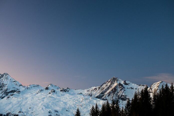
Us, though? We don’t have the time, so we’re heading north to Iceland’s sprawling East Fjords, which begin just an hour’s drive from Jokulsarlon, just after the town of Hofn. Shaped by the glaciers of the ice age, the East Fjords are defined by snow-capped mountains, fishing villages, puffins aplenty and, of course, the fjords themselves, those narrow strips of sea that cut into Iceland’s east coast between its cliffs and mountains.
The road here is spectacular, with vast, barren expanses offering myth and mystique and the drive bringing moments of high drama amongst the rugged surrounds. In the East Fjords, it’s all about the journey, not the destination; simply follow Route 1 for 250km’s scenic driving from Hofn to the town of Egilsstadir, which signifies the end of the ring road’s dalliance with the East Fjords.
If you’ve got the time, consider a short diversion from Route 1, taking Route 93 northeast for 30km to the picturesque town of Seydisfjordur. Or, drive an hour north from Egilsstadir along Route 94 and check out Borgarfjordur Eystri, a remote village that’s famous for its resident puffins and the accepted end of the East Fjords.
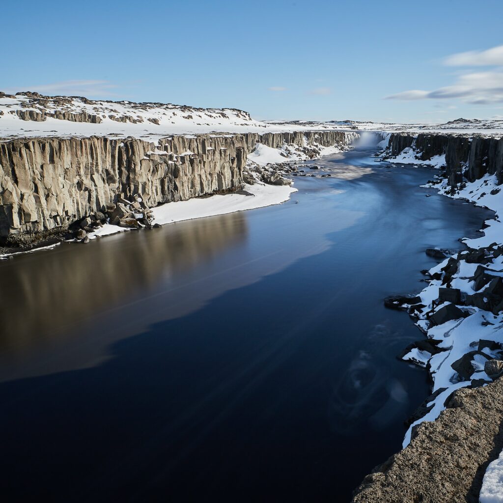
Dettifoss Waterfall
We know what you’re thinking; you’ve had your fill of waterfalls by now. But the waterfall at Dettifoss, another two hour’s drive northwest as the ring road turns inland, simply has to be seen to be believed.
After the Rhine Falls in Switzerland, Dettifoss is the most powerful waterfall in Europe, and you’ll hear its waters crashing from miles away. Located just north of Route 1, the roads (862 and 864) that serve the waterfall are usually only traversable in summer. In the winter, you may have to give this spectacular waterfall a miss, as the roads become undrivable. If you are able to get up close and personal, however, Dettifoss, translating as the ‘collapsing waterfall’, is a must-see.
Whale Watching In Husavik
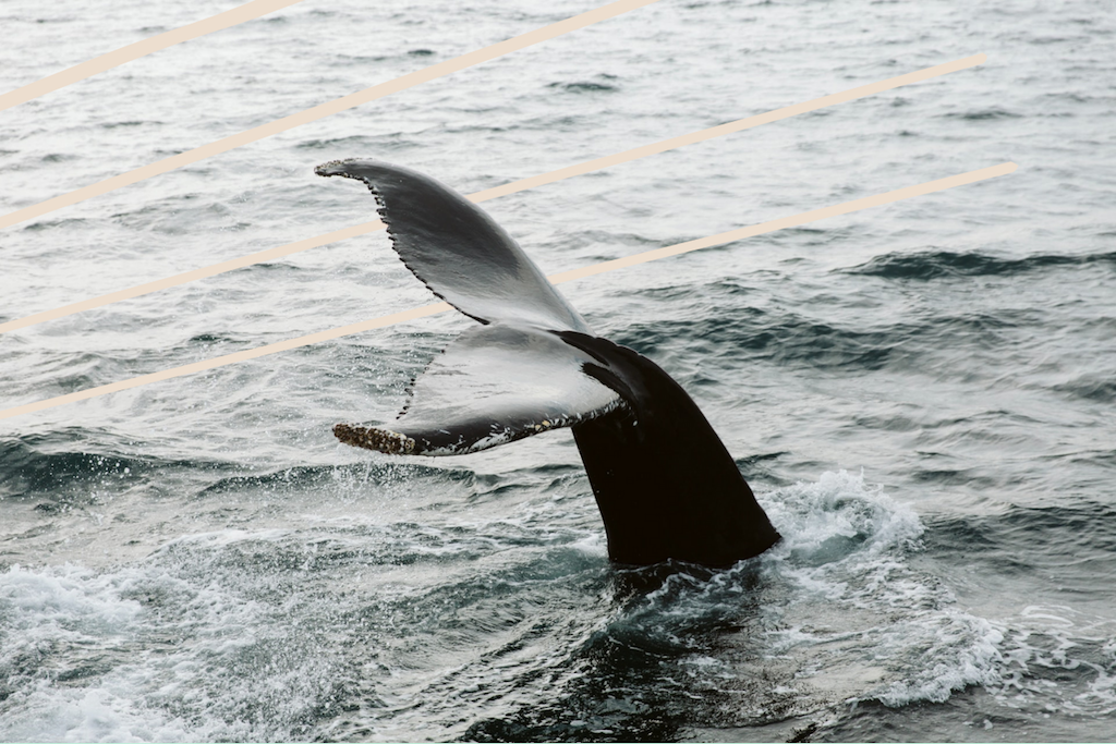
Dettifoss is part of a popular collection of attractions in North Iceland collectively known as the Diamond Circle. Another must-visit within the region is Husavik, a town on Iceland’s north coast that’s so famous for its whale watching that it’s often referred to as ‘the whale capital of the world’.
You’ll have to deviate from Route 1 by a couple of hours here, taking the 864 for Dettifoss and then the 85 onwards to Husavik, but you’ll be rewarded with a near-guarantee of whale pod sightings. Though minke and humpback whales are most commonly sighted, blue whales have also been spotted here several times in recent years. The town also houses a whale museum, should you not be fortunate enough to see any in the flesh!
Read: 8 of the best places in the world to spot whales
The Myvatn Nature Baths
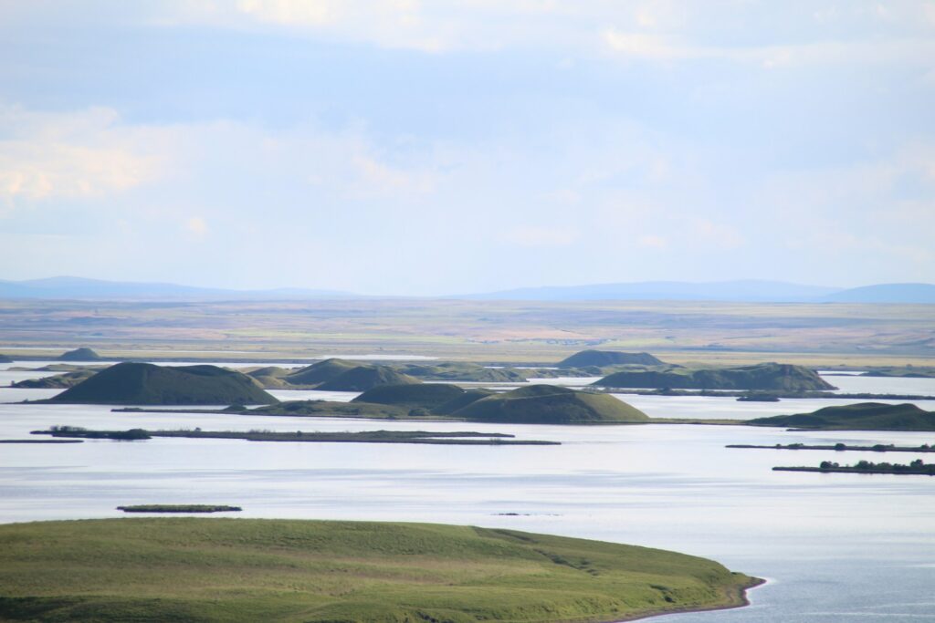
As you continue your journey along Route 1’s northern stretch, approximately an hour’s drive east from Husavik, you’ll discover one of Iceland’s best-kept secrets: the Myvatn Nature Baths. Often referred to as the “Blue Lagoon of the North,” these geothermal baths offer a similarly ethereal experience to their more famous counterpart, but with significantly smaller crowds.
Set against the otherworldly backdrop of Lake Myvatn’s volcanic landscape, these mineral-rich waters maintain a pleasant temperature between 36°C and 40°C year-round. The silica and minerals in the water create the same milky blue appearance that has made the Blue Lagoon so iconic, yet here you can enjoy a more tranquil, authentic Icelandic bathing experience.
The surrounding area is equally worth exploring, with peculiar lava formations, bubbling mud pools and steaming fumaroles dotting the landscape. Bird enthusiasts will be particularly delighted, as Lake Myvatn hosts one of the most diverse collections of waterfowl in Europe.
For those who’ve begun to feel the strain of many hours behind the wheel, the Myvatn Nature Baths provide the perfect opportunity to unwind, soothe tired muscles, and rejuvenate before completing the final leg of your Route 1 adventure. Unlike its southern sibling, pre-booking isn’t always essential, particularly during off-peak seasons—though it’s still advised during summer months.
Take A Volcanic Crater Hike In Grabrok
Phew, we feel like we’ve strayed too far from Route 1 there, even if we did catch a glimpse of the largest mammal in the world and had a wonderfully pleasant warm bath. So, from Husavik and Myvatn, rejoin the ring road and head south in a symbolic descent that will have you feeling like you’re heading home as the capital Reykjavik draws closer.
But before we pull up in Iceland’s major city for a final feast, there’s time to stop in Grabrok, four hour’s south of Husavik and the last major stop on Route 1 before you hit Reykjavik.
A protected natural monument, Grabrok is a crater formed by a volcanic eruption some 3000 years ago, and sits just off Route 1’s western leg. Here there are footpaths that take in views of the crater, as well as longer hiking trails if time is on your side. After which, we’re heading home…
End Your Adventure With A Feast In Reykjavik
Iceland’s capital Reykjavik has a thriving foodie scene that belies its relative small size and remote location, with cutting edge ‘New Nordic’ restaurants rubbing shoulders with more old fashioned Icelandic delicacies like Hakarl – that’s fermented shark – or Svio (half a sheep’s head). Whether you choose to go traditional and explore the history of Icelandic cuisine at Matur og Drykkur, or you’re keen on the sound of innovative, Michelin starred fare at Dill, you’ll be spoilt for choice for fine dining in Reykjavik.
For a more in depth look at Icelandic food, check out our guide to some of Iceland’s signature dishes and where to try them in the capital. And with that, we wish you a fantastic journey. Bon Voyage! Or, should we say, Eigðu góða ferð!

